
Chad takes flight: inaugural drone café explores civil drone opportunities
Chad takes flight: inaugural drone café explores civil drone opportunities
Chad hosted its pioneering Drone Café, an event dedicated to exploring the vast potential of civil drones across agriculture, livestock, and environmental management. Experts convened to discuss crucial regulatory challenges, training needs, and integration strategies for this burgeoning technology.
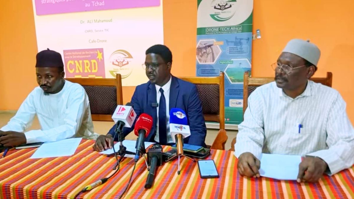
A collaborative effort by Tech Africa, Tchad FlyingLabs, WeRobotics, and the Centre National de Recherche pour le Développement (CNRD) marked the successful launch of the inaugural Drone Café. This landmark event, held on June 25, 2026, at the CNRD premises in N’Djamena, centered on the compelling theme: « Les opportunités liées aux drones civils » (Opportunities related to civil drones).
The initiative aimed to shed light on and champion the practical applications of drone technology across various critical sectors in Chad, including agriculture, livestock management, and the oversight of natural parks and reserves.
Professor Mahamoud Youssouf Khayal, the Director General of the CNRD, delivered a keynote address, highlighting the unprecedented gathering of national and international unmanned aerial vehicle (UAV) experts within a dedicated research and development environment in N’Djamena. He asserted that drones are no longer a futuristic concept but a tangible reality of the present. “Given Chad’s expansive territory, significant logistical hurdles, pressing need for geospatial data, and the imperative for swift crisis response, drones emerge as an exceptionally relevant solution,” he remarked.
Professor Khayal further outlined several key challenges that must be addressed for Chad to fully harness the benefits of this advanced technology:
- Regulatory Framework: How can drone usage be ensured safely while simultaneously fostering innovation?
- Training: What strategies will effectively prepare young people for the emerging careers in drone technology?
- Integration: How can institutions, private sector operators, and researchers collaboratively integrate drone solutions?
The CNRD Director General expressed profound gratitude to the organizing partners—Drone Tech Africa, Tchad FlyingLabs, and WeRobotics—for their visionary initiative and unwavering commitment. He also acknowledged the presence of experts who have already translated these technologies into operational solutions. He urged all participants to seize this unique opportunity for learning, forging new partnerships, and laying the groundwork for a comprehensive national roadmap. “Research is not a distant endeavor; it is intrinsically linked to our daily concerns, and drones perfectly illustrate this connection,” he concluded.
He also extended appreciation to the dedicated teams at the Centre National de Recherche pour le Développement for their seamless organization of the event, as well as to the technical and financial partners who demonstrated faith in this pioneering project.
Mahamat Issa Abakar, Director of Drone Tech Africa, presented compelling insights from research conducted in Burkina Faso through a detailed projection. He also showcased agricultural research undertaken in Chad’s Guéra province, specifically in Mongo, Baro, and Tabo. Here, a women’s agricultural project was documented by a drone to analyze their practices in the face of environmental resilience. The overarching goal of this research was to demonstrate how agricultural yields could be boosted by up to 30% through the strategic application of drones.
Ali Mahamoud, a department head at the CNRD, delved into the topic of artificial intelligence (AI) in research, emphasizing the critical role of drones in preventing conflicts between farmers and herders. These conflicts are often exacerbated by drought, scarcity of water sources, and climate change. He underscored the vital importance of drones for wildlife surveillance in Zakouma National Park, monitoring transhumance corridors, mineral prospecting, and gold exploration, stressing their utility in gathering crucial statistical data.
The third speaker, Dr. Djimassal, a research officer, provided insightful clarifications on the use of satellites to capture images from space. These images allow for detailed visualization of vegetation patterns, rivers, open forests, human settlements, shrubby and herbaceous savannas, grazing areas, and thickets, particularly in the northern regions. He meticulously explained the interpretation of images related to various natural resources, lakes, and natural forests, showcasing their analytical power.
Following these illuminating research presentations, a dynamic panel discussion was convened, fostering an exchange of ideas on the profound importance of employing drone technology across a multitude of sectors.